
The Eastern Himalayas are changing faster than almost anywhere on the planet.
As climate change accelerates, forests that hold the hillsides together are burning, glaciers are retreating, monsoons are shifting and the rivers that feed farms and cities are losing their annual rhythms — drying out in some places and flooding in others.
To protect the nature that communities rely on, Conservation International created “Mountains to Mangroves” — an initiative with an ambitious goal: protect and restore 1 million hectares of land from the Eastern Himalayas mountains to the Bay of Bengal.
Goals like that are easy to announce. Acting on them requires careful planning —especially in a place like the Eastern Himalayas. This rugged region spans four countries with dozens of languages and cultures scattered across a landscape which shifts from glaciated peaks to tidal mangroves within a few hundred miles.
This week, Conservation International released a tool to help guide the way: the Mountains to Mangroves Atlas, an open-access digital platform that maps restoration and conservation potential across the entire landscape, pixel by pixel.
“Knowing where to start — which forests to protect, which degraded hillsides to restore, which watersheds to prioritize — requires a level of spatial understanding that the Atlas is making reality,” said Kashif Shaad, a Conservation International scientist who led the tool’s development.
The Atlas was built in collaboration with planners and partners doing the challenging work of conservation in the field. It is designed to help them make critical decisions about where to protect and restore nature.
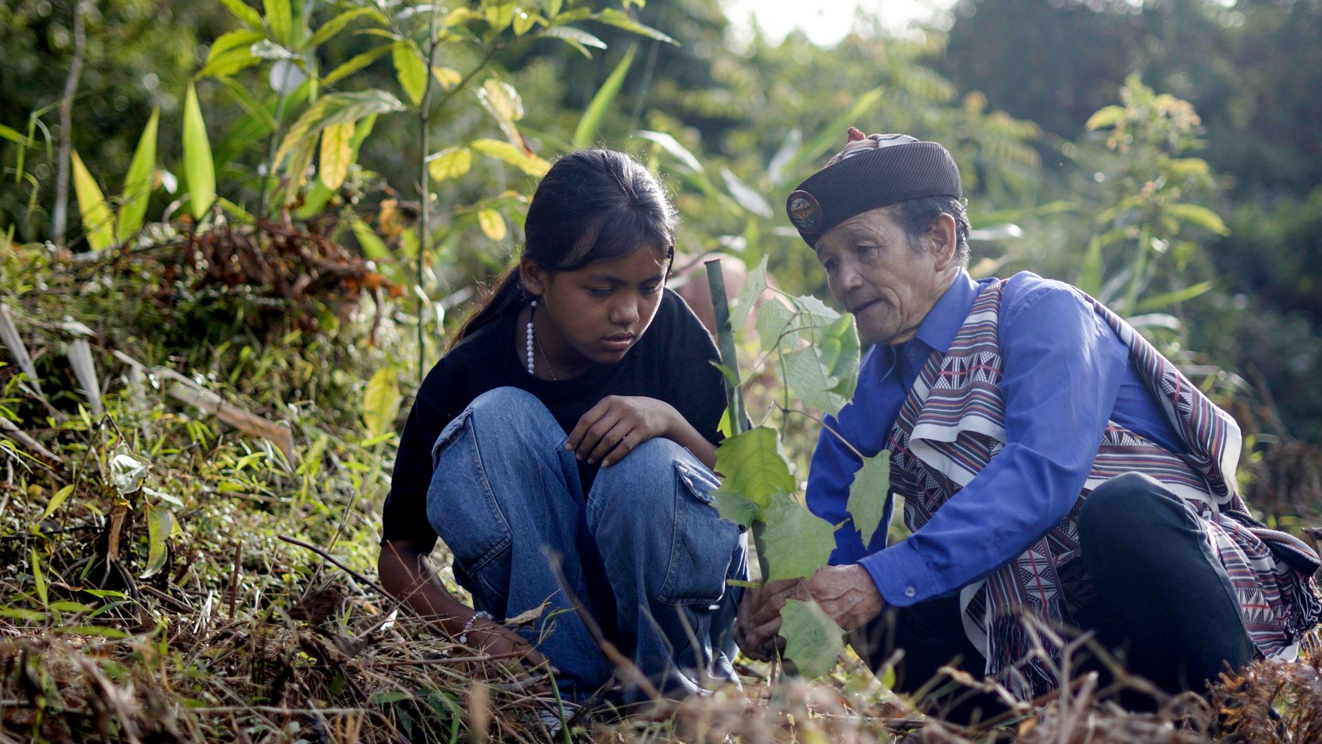
“Today, because of the Atlas and the data that comes with it, we can figure out the potential of what we need to do in terms of our independent strategies, and how to connect this entire landscape to scale up our programs under the Mountains to Mangroves initiative,” said Sweetlana Ranjan, the founder and CEO of I Behind the Ink, a Mountains to Mangroves partner training young people from rural and Indigenous communities to become next-generation environmental leaders.
The Atlas maps the region across five overlapping dimensions: forest cover and condition; waterways that influence water security; habitats and possible conservation corridors for iconic species like tigers, red pandas and Asian elephants; climate mitigation through reforestation; and the density of communities whose livelihoods depend on nearby forests. A separate layer maps where partner organizations are already working across the region, with community videos and firsthand accounts of a landscape in transformation.
“The storytelling layer of the Atlas reminds us that these landscapes are alive with the rhythms of everyday life,” said Arina Cosac, who leads strategy for the initiative at Conservation International. “They are places where people wake up every morning, plant their fields, watch the seasons change — and feel it when something shifts. That’s what you’ll find in the Atlas — their words, their landscapes, their stories.”
By exploring these layers, a user anywhere in the region can zoom into a pixel and ask: what’s here, what’s connected to it, and what’s at risk?
“We’re not working at 30,000 feet,” Shaad said. “Once you get specific about a place, your questioning and your design of the restoration methodology becomes sharper.”
Take Bhutan, a nation nestled in the Himalayan mountains.
Almost 70 percent of the country remains forested, protected by a constitutional mandate. But climate change is rewriting the conditions that made that possible. Drier winters are leaving forests more combustible, and since 2020, more than 28,000 hectares (70,000 acres) have burned. On Bhutan’s steep slopes, that’s not just a loss of trees — it’s a loss of soil.
“If protective vegetation isn’t restored quickly, those steep slopes risk becoming completely barren as rain washes away the topsoil,” Kashif said. “The country must intervene to keep that soil there.”
That’s precisely the kind of detail the Atlas is designed to refine. It can show planners where burned plots cluster, what connects them, and why.
For Restore Bhutan — a flagship program in Bhutan — that clarity translated directly into speed. With a map already in hand, the team could move quickly from analysis to action — getting people on the ground, validating sites and developing projects far faster than would otherwise have been possible.
Bhutan is just one thread. The Atlas is designed for the whole region.
Each layer of the Atlas tells a different story. For instance, the biodiversity maps show which parcels of land, if restored, could stitch together safe corridors for tigers, elephants and red pandas to move without passing through villages. Meanwhile, the water security layer flags where forests are providing flood mitigation and water infiltration for the hundreds of millions of people living downstream.
Together, they form a living picture of a place experiencing near-constant change due to climate change. As glaciers retreat, fire seasons lengthen and river systems are rewritten, the value of knowing conditions on the ground only grows.
“We are taking a broad ambition and drilling down into the specifics, region to nation, nation to province, province to community,” said Daniela Raik, president and Chief Conservation Officer at Conservation International. “The maps tell you where to look. Everything else follows from there.”
Explore the Mountains to Mangroves Atlas .
