By Lauren Brown
 It was this question in my 7th grade U.S. history class that sounded the alarm bell:
“What’s that big state at the bottom with 40 electoral votes?”
The student didn’t know. Some students immediately shouted out the answer – though unfortunately, a few did so in a mocking tone. This moment underscored a bigger issue: aside from California, Texas, Florida, and some of our own state’s neighbors, most of the class didn’t know many of the 50 states.
So last year I resolved that my 7th graders would learn their states. I did it in 3 parts. Test 1 was the 13 colonies. Test 2 was everything up to the Mississippi River. Test 3 was the rest. Test 2 and 3 included the previous states, so they had to continue to review all 50.
I had mixed feelings about this
I knew it was just memorization, and that while they would “use” the info as we studied electoral maps in our constitution unit and future lessons, they would eventually forget them if there was no need to remember them.
But memorize they did. And I learned five lessons:
►1. All of them can do this. They complained, but they were successful. They expressed pride when they mastered it. I taught them memorization tips, which I suggested could be useful in memorizing other info (e.g. Roy G. Biv). Most of them used GeoGuessr which was especially helpful in enticing the video gamers and led to competitions in advisory as to how fast they could play.
►2. I had feared I might get push back from parents, complaining about how this was rote memorization. I did not. On the contrary, I got positive feedback about how important they thought this was and were grateful I was doing this.
►3. Learning context matters. It was easier for them to learn the states in chunks that related to meaning. So learning about the newest states after the original 13 made it easier to learn Kentucky and Tennessee. The Missouri Compromise gives context for memorizing Missouri and Maine. The Lewis and Clark expedition gives context to the West; the Northwest Ordinance to the Upper Midwest. The Civil War gives context to the South, which doesn’t include Arizona or New Mexico, which are clearly as far south as the South. Check out this map of U.S. Census regions.
►4. Understanding physical features matters, too. Recognizing there are states that border the Great Lakes or the Mississippi or that are west of the Rocky Mountains is helpful, but many students don’t know these physical features either. Some don’t know which ocean is on which coast, so concepts like the “Mid-Atlantic” or the “Pacific Northwest” confuse them. Students should know these features, too. It is part of basic literacy: the first big winter storm of this year hit the mid-Atlantic, disrupting flights across the nation. The Pacific Northwest had record wildfires last year.
►5. I realized the task was much easier for those students with travel experience or family in other states. In my economically diverse community, those who ski in Colorado recognize its location near the Rockies, while some have never left Illinois and may not even know Wisconsin to the north. Students with summer homes or family in other states know those locations. Those who drive to Florida for vacation can often name the states along the way. Having older siblings in out-of-state colleges also helps. The same pattern applies to world geography—some students know countries through immigrant parents or travel, but most have not had those experiences.
This last lesson is the most important one. Public schools have the power to bridge these gaps between the haves and the have nots. To do so requires a commitment to fill in these knowledge gaps with purposeful teaching. Students in 7th grade should not have to memorize the 50 states; they should already know them by then because they have had rich experiences learning about them in grade school.
An appeal to my elementary colleagues
So here’s my plea to those of you who teach 4th and 5th grade or even earlier: teach students about these places!
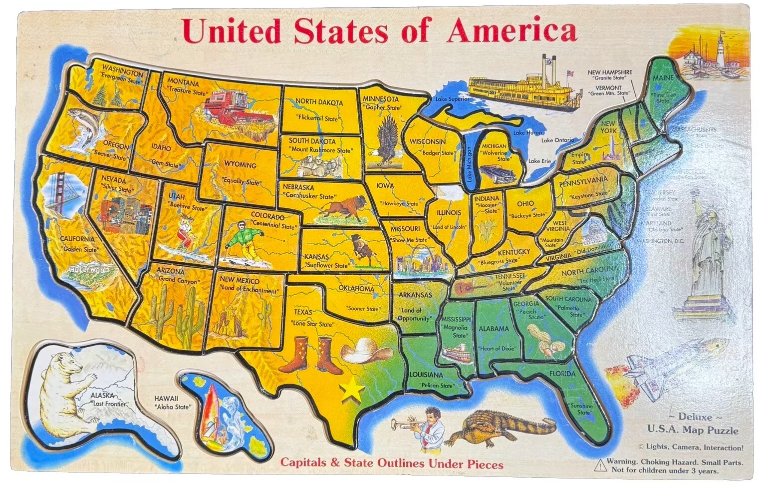
I remember a wooden puzzle I had as a child: all 50 states with pictures on them of things like potatoes in Idaho, corn in Iowa and peaches in Georgia. Young children should play with such puzzles in kindergarten. We should teach about the pictures on them. They should explore where the foods we eat come from, connecting it to what is in their families’ grocery carts.
They can look at weather reports to see what the temperatures are like in other places. We should teach units in science about the climate and topography of our country. When they learn about famous people, have them find the place those people were born and where they lived on a map. Teach them the “Fifty Nifty United States” song in music class. I still know the song by heart, fifty years after learning it in grade school!
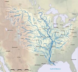
The extent to which our children should be taught to love their country is controversial. But no matter where one stands on the political spectrum, I hope we’d all agree that students should know about the “Mighty” Mississippi, where the Statue of Liberty is, and some of natural treasures found in our national park system.
They should know the names of some of the major cities in our country and what state they are in. This also has context and can be connected to something near and dear to many of our students: sports teams. To wit, in a lesson on Carnegie and the Homestead strike, I know I can always count on someone in the class finishing my thought, “And that is why the football team in Pittsburgh….” What a great 4th or 5th grade lesson one could create on the origin of college and pro sport franchises in football, baseball and basketball! Many names have connections to history, geography and economics.
Students can research different parks and states and “plan” vacations to present to the class. I still remember parts of reports I did in grade school on Oklahoma, the Great Smoky Mountains, the Algonquins of New York and the Zuni of the Southwest. After presentations, students could be asked to choose the top 3 places they would like to go based on the reports of others. Or be more specific: e.g. which state or region would they most like to visit for outdoor experiences? Which top 3 cities would they most like to visit and why? Which states offer the best eating opportunities?
Let’s set the stage. Knowing more about our country’s geography will help students as they go on to learn its history and politics. Knowledge sticks to other knowledge. The more they know, the easier it will be to learn more.
What about the rest of the world?
I have met people from Malawi, Lithuania and Kazakhstan that felt a need to explain to me, not only where their homeland is but that it is even a country in the first place. Can you imagine an American explaining to a Lithuanian that the United States is a country in North America?
While I’m not as convinced that students need to memorize the location of every country in the world, certainly they should know much more than they do. They should know all the continents and regions within continents and the countries that are our major trading partners and that are in the news or that we have fought wars with or are the ones their ancestors have come from. They should know all the oceans and major mountain ranges and rivers.
Reading comprehension depends on knowledge. All these things are important pieces of knowledge that our students need in order to build deeper knowledge and understanding of complex issues.
The student who didn’t know Texas was embarrassed, understandably. It is our job as educators to make sure no students are embarrassed like that. If we do our job, no student should make it to 7th grade without knowing the things they must to become competent citizens of our country and caring adults of our world.
Two helpful links for memorizing:
And once we’re past memorizing, we can have so much fun learning with maps. Below are just a few of my favorites.
Image credits: Mississippi River (Wikipedia); wooden US States puzzle (eBay).
Lauren S. Brown (@USHistoryIdeas) has taught U.S. history, sociology and world geography in public middle and high schools in the Midwest. Lauren has also supervised pre-service social studies teachers and taught social studies methods courses. Her degrees include an M.A. in History from the University of Illinois at Chicago. You’ll find her newest work on her Substack, Lauren Brown on Education. Read all her MiddleWeb articles here.


