What would it take for weather forecasters to be able to predict seasonal climate effects — such as the extreme drought followed by the extreme floods experienced in the American West over the past few years? And to be able to make these predictions in a timeframe that could save lives and property?
It would require computing speed interacting with great volumes of complex data from weather satellites, ground-based measurements, and numerical model data around the world. The computing power required to transmit, analyze, and display that data is now available through the Pacific Research Platform (PRP), and is fueled by the high-performance infrastructure of Pacific Wave, a joint project of CENIC and the Pacific Northwest Gigapop.
“Not so long ago, it took weeks to months for scientists to get an answer to a question posed involving the multi-terabyte datasets from NASA or NOAA,” said Scott Sellars, a postdoctoral scholar at the Center for Western Weather and Water Extremes at UC San Diego. “There’s where CENIC and PRP are so valuable — those days have been reduced to hours.”
Sellars is part of a multi-institutional group of scientists who have developed the CONNected objECT (CONNECT) algorithm, designed to study a weather phenomenon known as “atmospheric rivers” — rivers in the sky.
“This science is relatively new, with the first paper discussing an atmospheric river published in the early 1990s,” said Sellars. “Before that, we mostly paid attention to the big cyclones, and now we’re looking at what is feeding those cyclones. We have unique sensors here in California that enable us to track these events as they come to land, so our ability to track the rivers as they make landfall is new.”
Rivers in the sky appear just as one would imagine — as large volumes of suspended precipitation that can be up to 2,000 kilometers (1,200 miles) long and 200 to 500 kilometers (120 to 300 miles) wide.
“These can be very large atmospheric rivers with obvious features,” said Sellars. “They are global events and can be found in both the Northern and Southern hemispheres. The size of the Pacific Ocean, however, makes the West Coast of the United States a bull’s eye for these rivers.”
“A lot of the focus has been on the West Coast because this is where most of them happen,” continued Sellars. “Western Europe has them as well, and they are major contributors to major weather events in Europe. And massive plumes of moisture can come out of the Gulf of Mexico, too.”
Until recently, scientists were limited in applying the CONNECT algorithm to historical data to better understand why certain weather events took place in the past. Now, with the computing power offered by the Pacific Research Platform, the speed of the data download is challenging the algorithm itself.
“What PRP and CENIC have done is created the platform that has sped up the data downloads to such an extent that our algorithm can’t keep up with it,” said Sellars. “Now the data has to wait for our algorithm to work. And we have to think about how we optimize the code to take full advantage of the data download speeds available to us. There are machine learning and artificial intelligence innovations coming online right now that should allow us to do just that. This will allow us to more deeply understand and more accurately predict the weather patterns responsible for atmospheric rivers and other weather phenomena. It’s exciting to be working in this field now that we’re removing access to data as a limiting constraint.”
Speeding up these weather predictions from weeks to mere hours can save lives, property, and infrastructure as a flood is happening. This is one area where technology will help California communities protect themselves against climate change.
Related blog posts
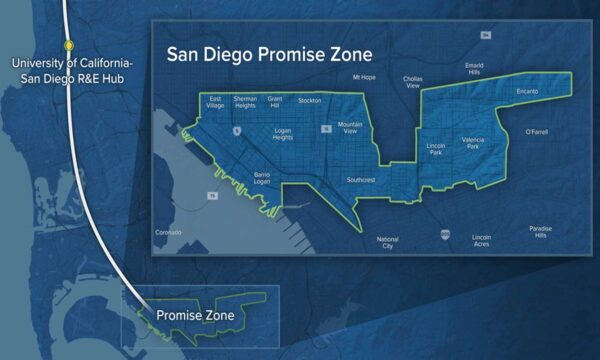
The San Diego Promise Zone: Connecting Potential with Promise
The San Diego Promise Zone: Connecting Potential with Promise
When parts of San Diego became one of the twenty-two federally designated Promise Zones in the U.S., the community came together in creative ways to improve the quality of life for all Zone residents. The focus of the initiative is to increase access to everything from affordable housing to jobs, safe environments, educational opportunities, healthcare, and economic activity.
PRP: Fulfilling the Promise of Collapsing Space and Time
The Pacific Research Platform (PRP) was originally conceived in 2014 by member institutions of CENIC, the Corporation for Education Network Initiatives in California, as a way to support data-intensive research projects. The challenge was to connect multiple researchers located in multiple locations who require rapid access to dispersed datasets. It has become a significant force in developing an entirely new model of cyber-infrastructure ecology.


