

My husband, friends, and I sat huddled at a faux-marble-topped table in the lobby of our Utah hotel, looking down at a Google Maps route pulled up on my iPhone. We pinched and scrolled the screen as the breakfast buffet crowd hummed around us.
We were less than a week into a Great American Road trip — one that would take us 9,000 miles from coast to coast and border to border. Today’s agenda was to relocate from Moab, the gateway city for Arches and Canyonlands national parks, to our hotel near Bryce Canyon. But there was a problem:
Utah was on fire.
To the west of us, the Cottonwood Fire had burned through 94,000 acres of forest and mountain towns, making it the largest conflagration in the United States. To the east, the Jones Fire had just erupted near the ghost town Cisco, its smoke plume looming on the flat horizon, visible from our hotel room. In total, more than a dozen wildfires were burning across the state, closing roads and turning the skies an ominous orange. We had to find a safe way through.
“If we take Route 89, it takes us straight into the middle of the Cottonwood Fire,” said my childhood friend Jessie, who had joined us with her husband for the Utah leg of our trip.
“There’s Route 72 through Loa, but that isn’t much farther away,” my husband said.
We switched apps from Google Maps to Watch Duty, a real-time wildfire tracker, waiting for it to load our precise location. My kids shifted their attention from their stacks of chocolate chip pancakes to the screen, which was covered in fire symbols. My 12-year-old son looked at me, worried.
“The edge of the Cottonwood Fire is creeping toward Route 72, too,” I noted. We had to make a decision and get going.
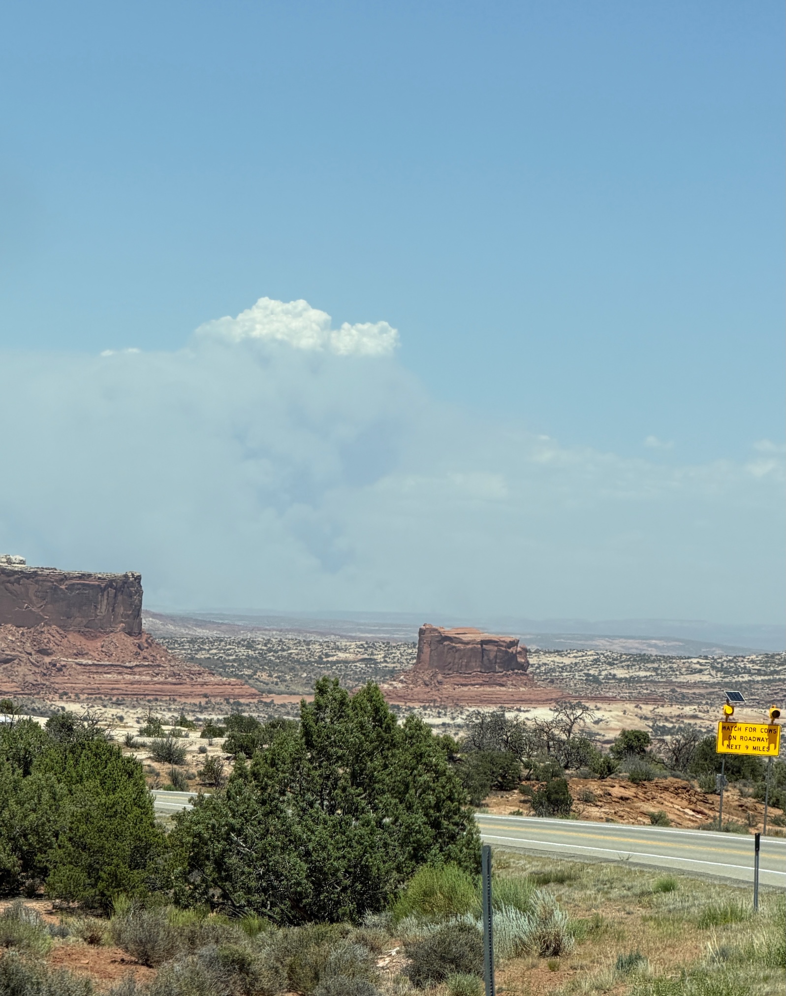
More than a dozen wildfires broke out in Utah in late June, such as the Jones Fire, seen left, visible from the horizon near the town of Moab. Katherine Bagley
We landed on a route that stuck to smaller state highways, even though it would add significant time to our driving. Anything to avoid the rapidly shifting edges of fire.
“You guys go get your bags and check out,” Jessie said. “I’ll go to the pharmacy and grab us some N-95 masks.”
Criss-crossing the United States by car has obtained an almost rite-of-passage status in American society over the decades, its allure solidified in everything from On the Road to Thelma and Louise to the #TakeTheScenicRoute Instagram reels of today. It was that craving for wild landscapes and new cultures that had drawn my family out onto the road. My husband had just finished a year of cancer treatments, the kids were on summer break, and I was eligible for a sabbatical from my job as a climate journalist. So despite never having done anything like this before, we packed our hybrid Honda with duffle bags and camping gear and set out with a plan to visit 14 national parks.
I had expected to walk away with a better understanding of our public lands, a renewed sense of awe and adventure, and the opportunity to travel as a family in a way I never got to growing up — and the trip did give us those things in spades. What I hadn’t expected, however, was to also get a stark glimpse into how climate change is rapidly altering our nation.
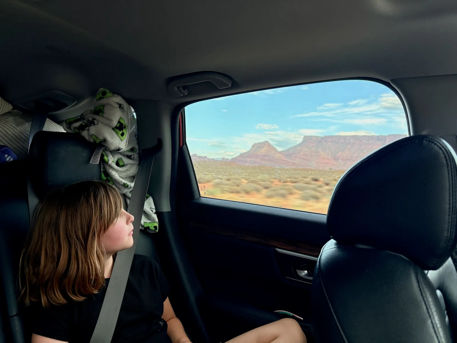
As a climate journalist, and scientist by training, I probably shouldn’t have been so surprised. For 20 years, I have documented the ever-growing impacts of a warming planet — and summer coincides with the annual period during which these impacts are on full display. A drumbeat of floods, fires, drought, and scorching heat put nearly every U.S. state in a vise from May to October. The season has become so synonymous with extreme weather that the nonprofit Union of Concerned Scientists launched a campaign in 2022 to dub it “danger season.”
But even knowing that, the scale of devastation underway outside our car windows was alarming. As the miles ticked by, disaster after disaster strung together in an alarming pattern of chaos. Freshly charred landscapes and orange skies in Utah. Bathtub rings on drought-stricken reservoirs in Arizona. Stands of dead trees killed by bark beetles in the Sierra Nevada mountains. Toxic dust blowing off the Great Salt Lake. Emergency alerts for flooding and evacuations in Glacier National Park. Extreme heat warnings in Grand Teton.
It felt like a near-constant assault, one disaster stacked on top of another. Travel a few miles, a few hours, and we’d encounter another mark climate change had made — or was actively making — on the American landscape.
It’s too early to say whether climate change was a factor in every brush fire, heat wave, storm, or flood we encountered. But there is compelling evidence that it’s making many forms of extreme weather more severe or frequent. From 1980 to 1989, the number of billion-dollar weather disasters in the United States averaged just 3.3 per year. Over the past decade, from 2015-2024, that number has more than quintupled, now averaging 19 billion-dollar disasters per year. Twenty-three billion-dollar disasters hit American communities in 2025, according to the research group Climate Central. By the time we hit the road in June 2026, 12 events from this year had already met that threshold.
As we left Moab toward Bryce Canyon, heavy-duty particulate masks stashed in the glove box, we got an alert from the National Park Service. It was closing a portion of Canyonlands National Park, where less than 24 hours prior, we had peered out over the park’s plummeting red sandstone cliffs into the hollowed landscape where the Colorado and Green rivers converge. Intense wind gusts had blown the hats from our heads and sand into our eyes.
Overnight, those gusts gave the Babylon Fire power to grow from 300 acres to 16,000 acres. The landscape we had just admired was under siege.
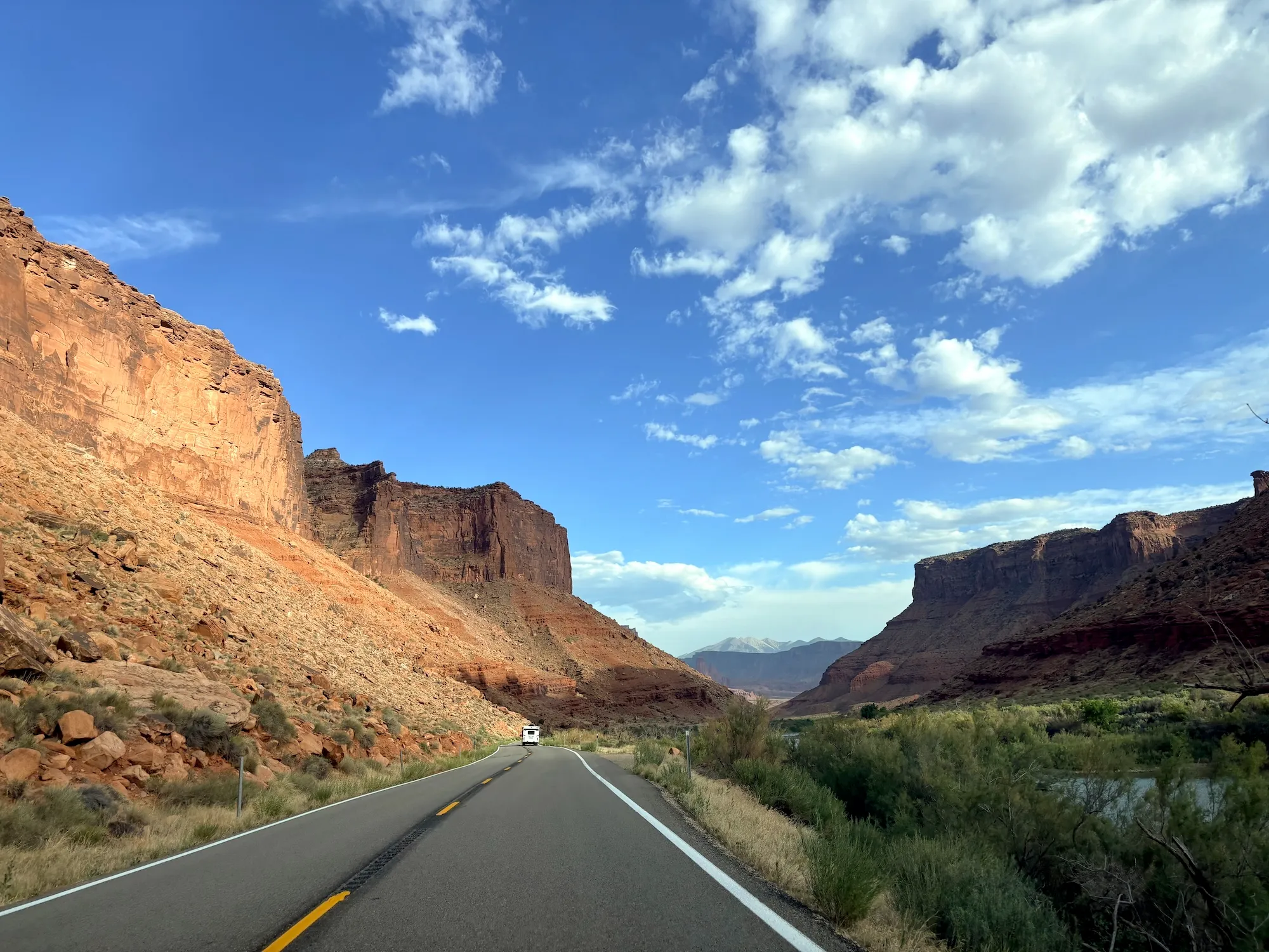
Over the next week on the road, my husband and I became experts at spotting the characteristic plumes of distant wildfires, locating the blazes on the Watch Duty app, and adjusting our driving route. In my travel journal, I jotted down notes: An ominous plume of smoke from the Pocket Fire seen on our way to the Grand Canyon. Feelings of gratitude after days where we encountered clear skies. We kept moving, even as I learned of flood evacuations in campgrounds further down our itinerary.
“Will our trip be derailed?” I wrote.
After stopping in Las Vegas for July 4th, we headed farther west, into Bakersfield, California, en route to the Sierra Nevada mountains. We passed the scars of prescribed burns on ranchland, wind turbines, rows and rows of fruit trees, and a seemingly endless stream of oil pump jacks, their arms turning rhythmically up and down, up and down.
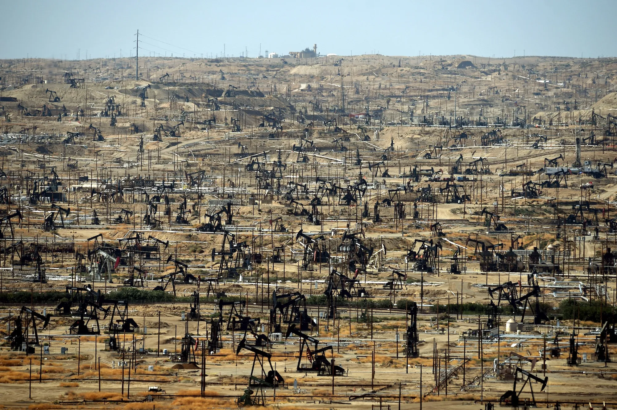
Mark Ralston / AFP via Getty Images
“What are they doing to the ground?” my 9-year-old daughter asked from the backseat.
“Those help to pull oil from underneath our feet to power things like cars and lights,” I replied, staring out at the edges of the Kern River Oil Field.
My kids already had a basic sense of climate change and its causes before we left on this trip. On our way West, we had stopped at a wind turbine-themed rest stop in Iowa celebrating the state’s commitment to renewable energy. We awed at the presence of electric vehicle chargers at the “world’s largest truck stop,” Iowa 80. And we cheered with every solar farm we saw. They were signs of progress, regardless of politics or climate beliefs or geography.
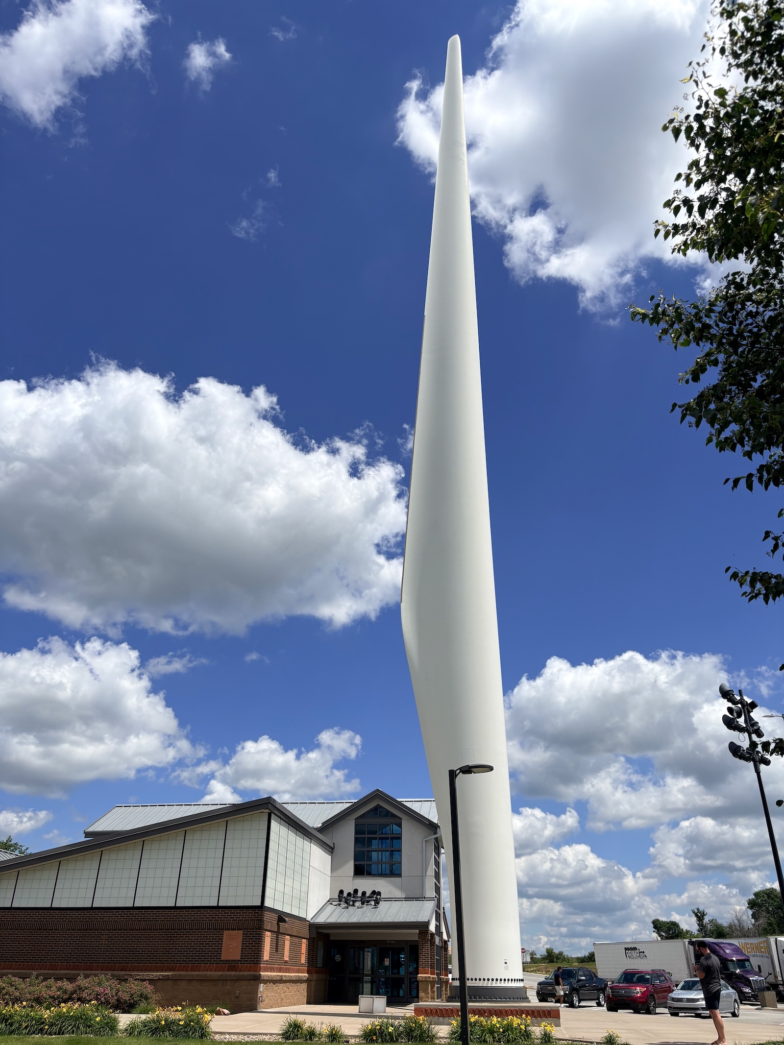
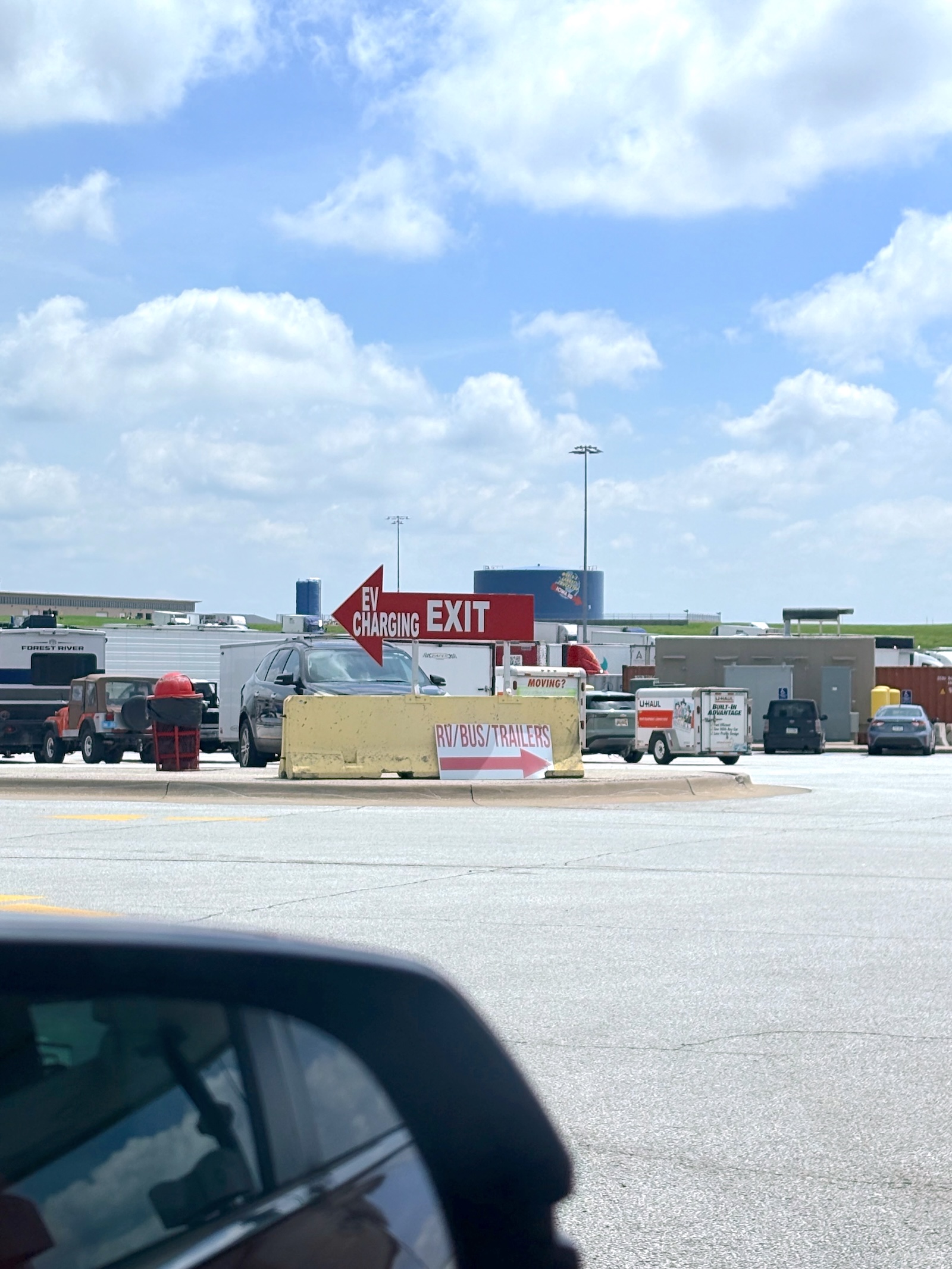
Our driving breaks in Iowa were marked by signs of climate action, from a wind energy-themed rest area to electric vehicle charging at the “World’s Largest Truckstop.” Katherine Bagley
That was the lens my kids had on climate change: It was bad, but there were ways to fix it. Then came the fires, and the smoke, and the flooding, and the heat warnings, and the drought. And now, here in Bakersfield, they were seeing for the first time what extracting fossil fuels looks like in practice, what it does to a landscape.
“I can’t believe they’re still working,” my son said quietly. “This place is littered with them.”
We rode the next few hours without speaking to each other, listening to Harry Potter audio books and staring out the windows, hoping to see another wind farm.
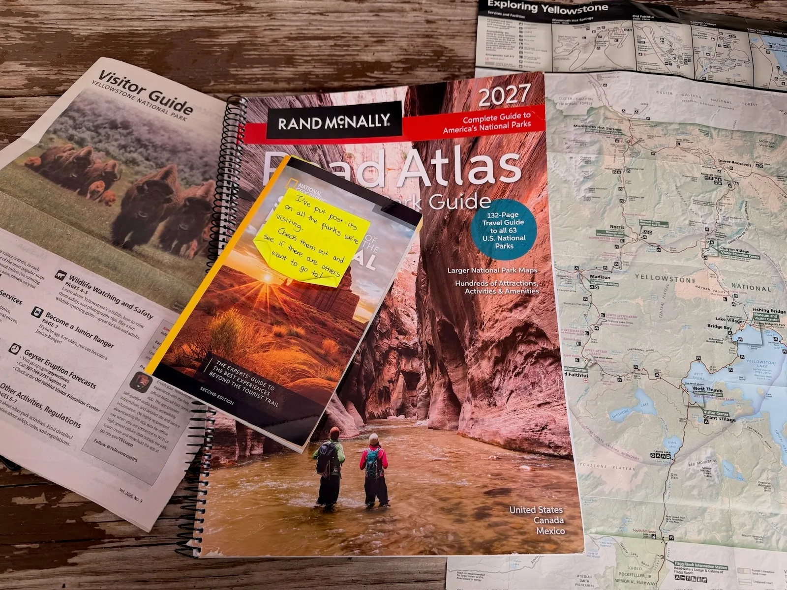
We stopped overnight in Three Rivers, California, before heading into Sequoia and Kings Canyon national parks. The road rose from the valley floor, switchbacking and climbing 5,000 feet in just 16 miles. The higher we went, the taller the trees got, towering above us. We opened our sunroof and windows, letting the cool mountain air rush over our outstretched arms. After weeks in the desert, the forest felt like a homecoming for us New Englanders.
We parked at the General Sherman tree, the world’s largest by volume, and set out on foot through what is known as the Giant Forest. Trunks stretched upwards for what seemed an impossibly long time, disappearing into rings of thick branches. But despite the scale, the forest felt cozy. Dappled sunlight filtered through the scale-like needles, casting a shadowy, warm glow. As we walked along the Congress Trail, weaving between thousand-year-old sequoias, my kids hugged every tree they could. The red, spongy bark tickled their skin as they stretched their arms and legs around the trunks.
Along the trail, we came to a cross section of a felled sequoia. More than 2,200 years of growth rings radiated from its center, each a marker of the history the tree had lived through. The rings showed evidence of at least 80 fires strong enough to permanently mark the tree’s bark over its lifetime — averaging to one fire every 28 years.
Even when they leave marks, fires don’t always spell disaster for these giants: Low-intensity blazes can clear the forest of underbrush, scorching the bottom of a tree but leaving its branches untouched, ultimately rejuvenating the forest’s nutrients. But these stands of ancient sequoias have experienced an unprecedented number of wildfires recently, including six large fires in six years. Scattered throughout the parks were large patches of burned out trees, their blackened trunks like used matchsticks, stripped of all greenery.
According to the National Park Service, “More than 85 percent of all giant sequoia grove acreage across the Sierra Nevada has burned in wildfires between 2015 and 2021, compared to only one quarter in the preceding century.” The fires were so intense that they killed thousands of “large sequoias,” those measuring 4 feet or more in diameter. The KNP Complex and Windy fires in 2021 killed upwards of 2,380 large sequoias alone.
Blazes in the Sierra Nevadas are often the result of lightning strikes, untamped camp fires, or power line sparks, among other causes, but their intensity and scale are fueled by the dry conditions and pest infestations brought on by climate change.
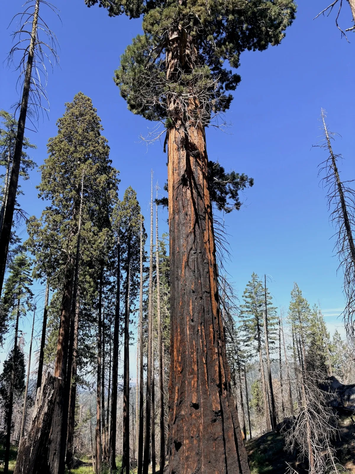
As we drove down out of the sequoias, pointing out each new giant, we saw logging trucks and excavators parked on the side of the road. Dead branches sat in piles ready for controlled burns, part of a partnership between scientists, park managers, and environmental groups to reduce the severity of the next wildfire to rip through the region.
When it does, not if.
After visiting the sequoias and Yosemite, my family and I turned back east. Our days whiplashed between grandeur and crisis.
We passed the Great Salt Lake at sunset, reds and pinks mirrored in its vast, still waters. But as we drove, we could also see stretches of dry, cracked shoreline — the lake has lost an estimated 73 percent of its water and 60 percent of its surface area due to agricultural diversions and worsening drought. A decade ago, I visited Antelope Island with friends to see its iconic free-ranging bison, but the lake’s shrinking shores mean the landmass is no longer an island, but a peninsula.
In Salt Lake City, we visited the Natural History Museum of Utah. One of the first exhibits was an interactive Sim City-esque game where you have to make planning decisions — install solar panels, build an urban farm, tear down a coal plant — to try and stave off the worst impacts of climate change. My kids played it three times. Little did they know that across the museum’s parking lot stood a hillside charred by the Bonneville Fire just two weeks earlier.
We travelled north into Wyoming, greeted by road signs warning of extreme heat. Jackson Hole, outside of Grand Teton National Park, hit 94 degrees Fahrenheit on July 12, 13 degrees warmer than the average daily high for the month. The town of Worland, in central Wyoming, hit 110 degrees F. We drove to String Lake to cool off in its snow-fed waters and watched as a bald eagle dove to catch fish.
We took a boat ride of Jackson Lake to see the park’s iconic jagged peaks from a different perspective, and learned that the tour operator was shutting down operations weeks earlier than usual. Low water levels caused by the region’s dismally low snow pack were making it hard to navigate wide swaths of the reservoir. Our guide pulled up a photo on his phone from six years ago. “The peaks were covered, just covered, in snow at this time,” he said. “What we’re seeing right now in July, that’s what we would typically see in late August.”
Up into Yellowstone, we took the kids whitewater rafting in the town of Gardiner. They shouted with delight as we crested the rapids and dunked in the spray. But in moments of quiet on the river, our guide pointed to pipes, wires, and decks sticking out from eroded riverbank, all that remained of the houses swept away by a historic flood in 2022.
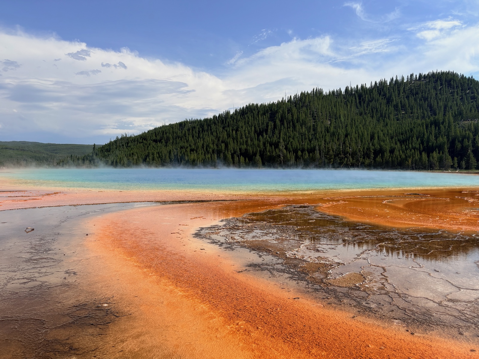
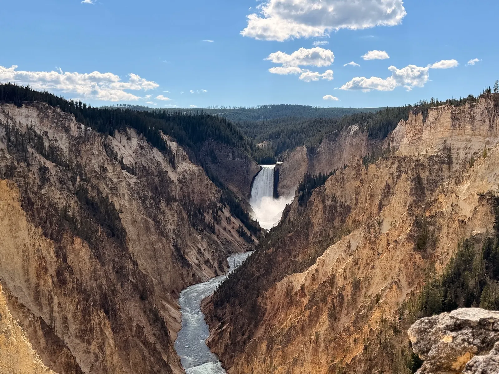
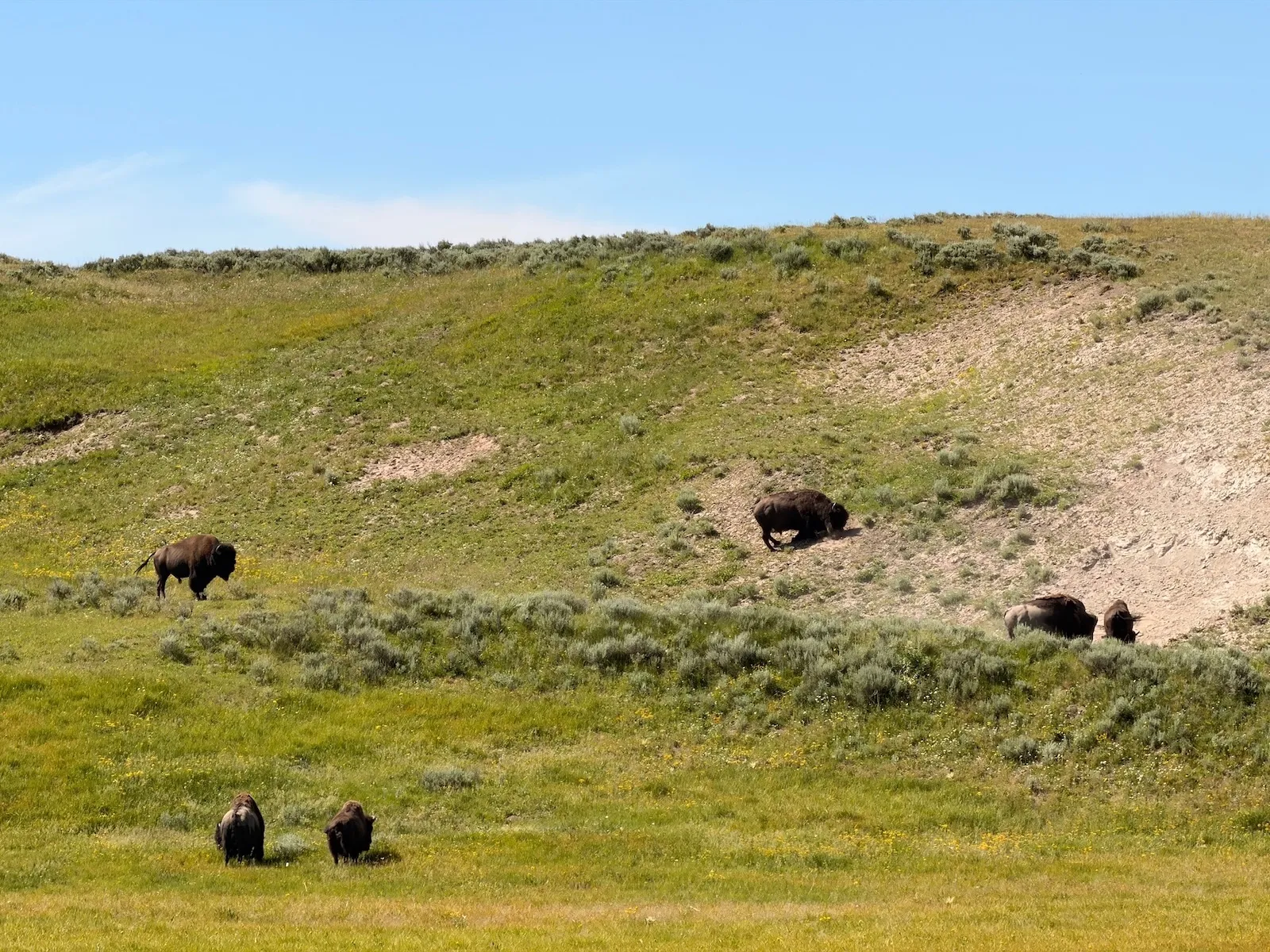
Iconic scenes from across Yellowstone National Park. Katherine Bagley
Park after park, the kids’ junior ranger books wove climate change and its impacts into their pages. Staff told us about the plight of the pikas, adorable mouse-like mammals that are moving further up mountains in search of cooler climes. We watched videos and read placards about how warming temperatures are making more areas suitable for white pine bark rust and destructive beetles.
I listened as my kids took their junior ranger pledge in every park we went to. Each oath differed slightly — some adding silly rhymes, others more serious — but they all included some variation of, “I promise to appreciate, respect, and protect all national park places.”
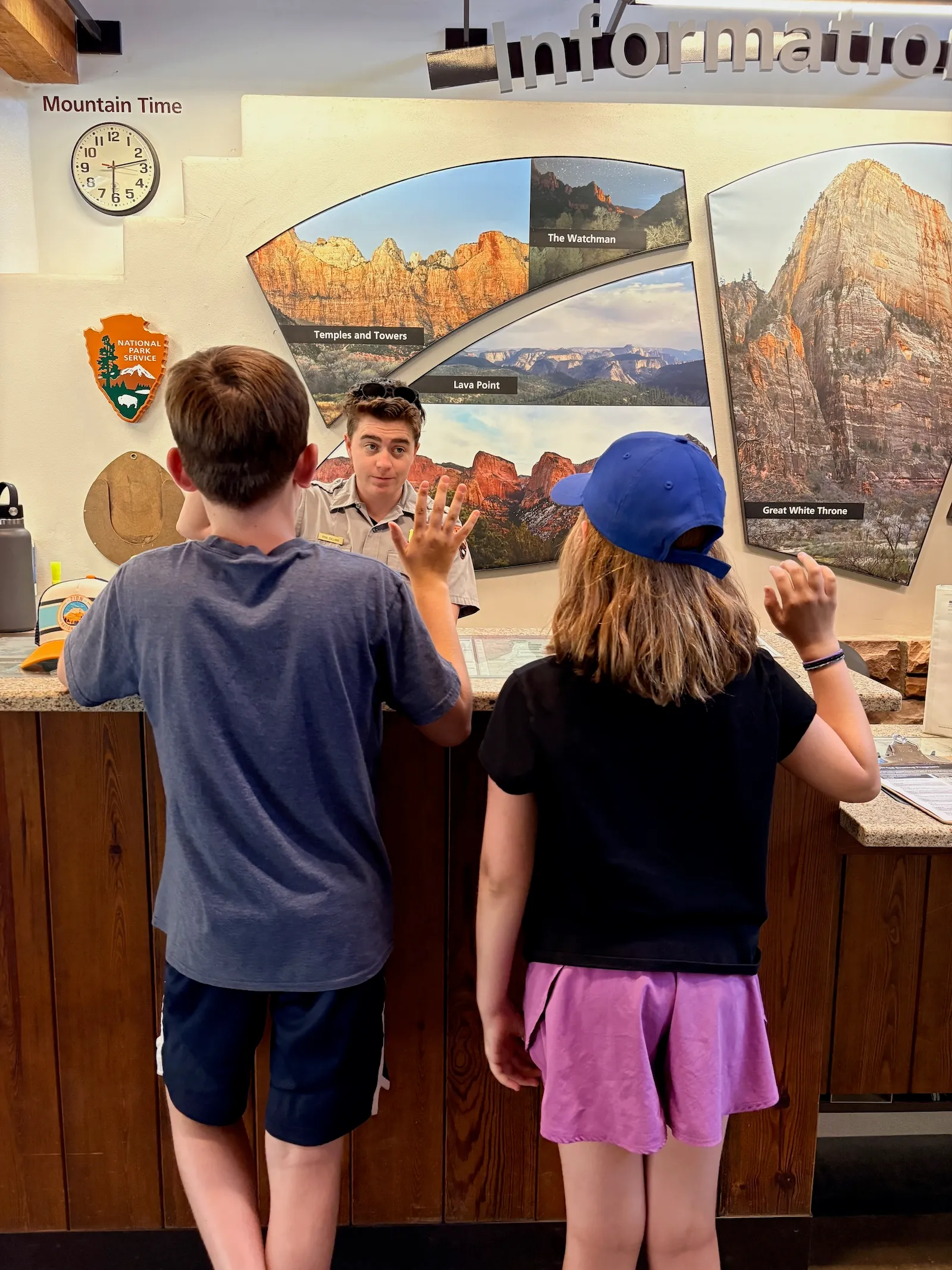
After taking their junior ranger oath in Glacier National Park, my kids walked through the exhibits at the St. Mary Visitor Center on the east side of the park, bordering the Blackfeet Indian Reservation. In the center was a 3D rendering of the park. They hit a button and watched as tiny bulbs lit up the mountain tops, signifying the location of the 150 glaciers that existed back in 1850.
As the timeline moved from 1900 to 1950 to 1980 to 2000, the lights disappeared faster and faster. Today, the park is home to only 26 ice bodies. My children pressed the buttons over and over, as if trying to restore the glaciers, remembered only by the carved-out hillsides they left behind.
A national Gallup poll recently found that nearly 4 in 10 Americans say their community was damaged by extreme weather within the past year, but that they “feel powerless to shape their own future.” The impacts of climate change can feel overwhelming, but my family’s road trip made clear this is an issue that affects us all. Climate change is no longer a collection of isolated disasters, separated by headlines or distances. It touches everything, its imprints lasting and deep and inescapable.
After more than a month on the road, it was time to go home.
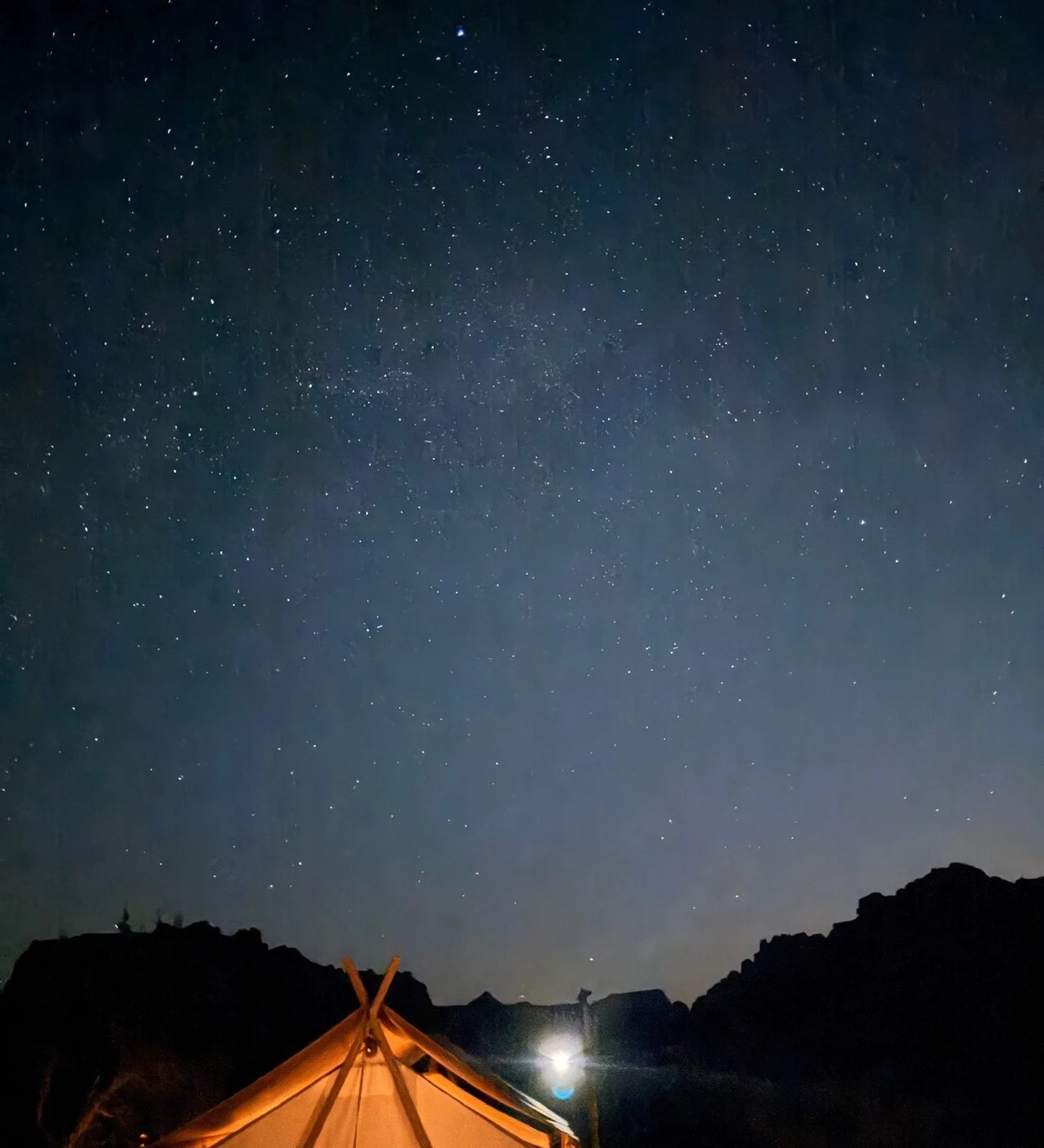
I wondered whether my kids will ever be able to take this same trip with their own families. If so, their experiences will likely be drastically different. Will they be able to explore the arches and sandstone cliffs of Utah? Will they be able to walk through the towering sequoias? Will they be able to see the ice?
I hoped so. There is so much to cherish, so much beauty, and still so much to fight for. We just need to rally to face a new foe.

